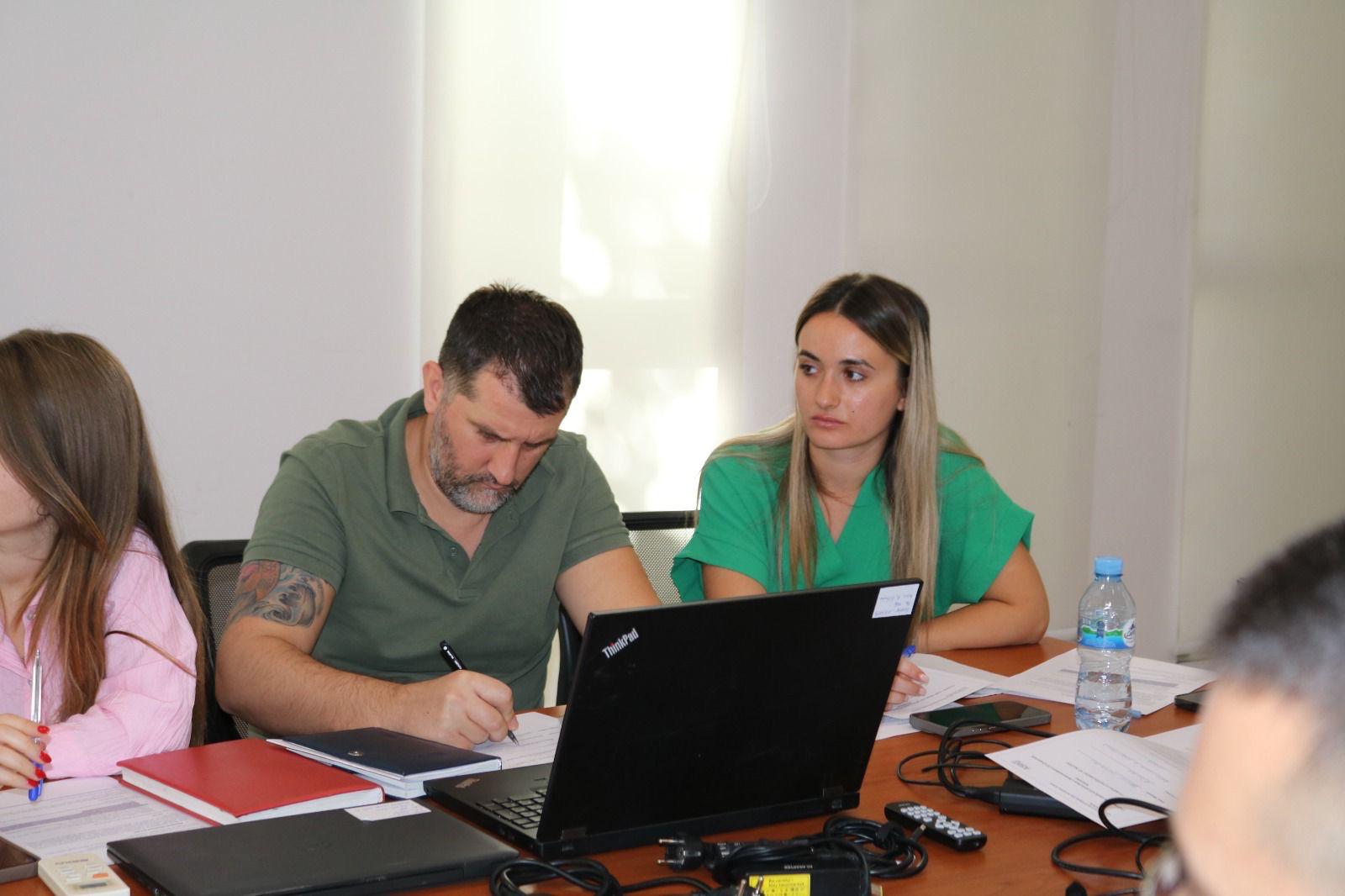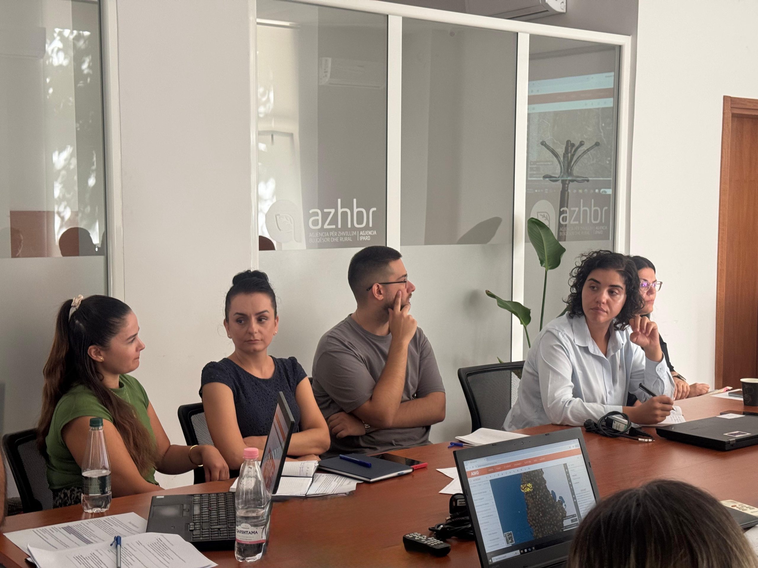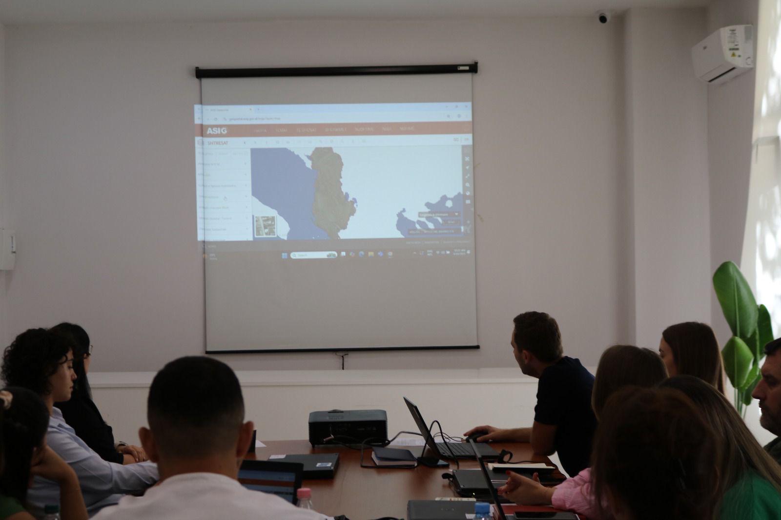
In the framework of inter-institutional cooperation, the Agricultural and Rural Development Agency (AZHBR), in collaboration with the State Authority for Geospatial Information (ASIG), is conducting a series of trainings for the LPIS team.
The sessions focus on expanding knowledge of the National Geoportal Platform and discussing the most effective ways to make geospatial data managed by the team accessible.
LPIS (Land Parcel Identification System) is a key component of the IACS (Integrated Administration and Control System) and serves as a tool for monitoring land use and ensuring transparency, in line with the Common European Agricultural Policy.
This inter-institutional cooperation aims to strengthen the use of geospatial data and support their administration according to the best European practices.